Click here for a map that contains other covers in the area.
On the cover:
[Map]
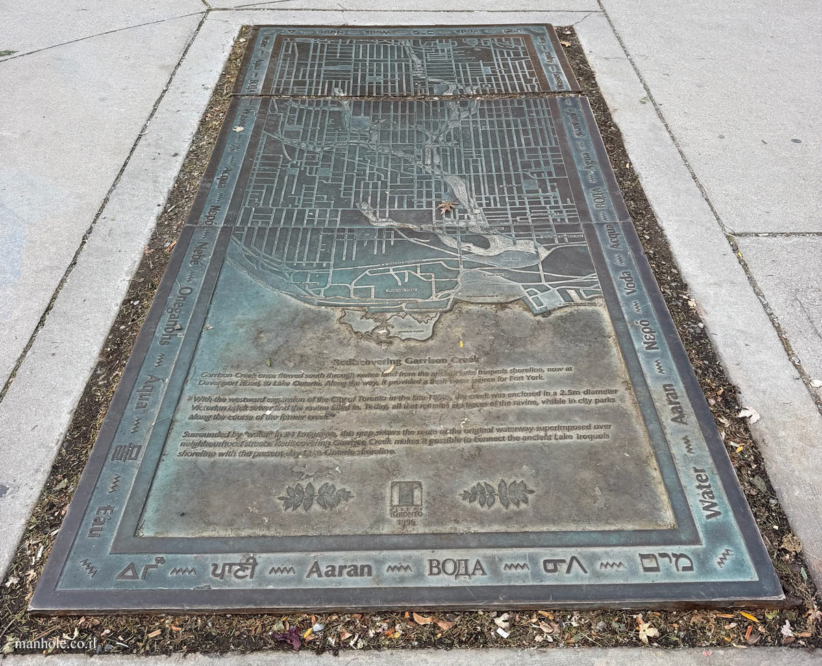
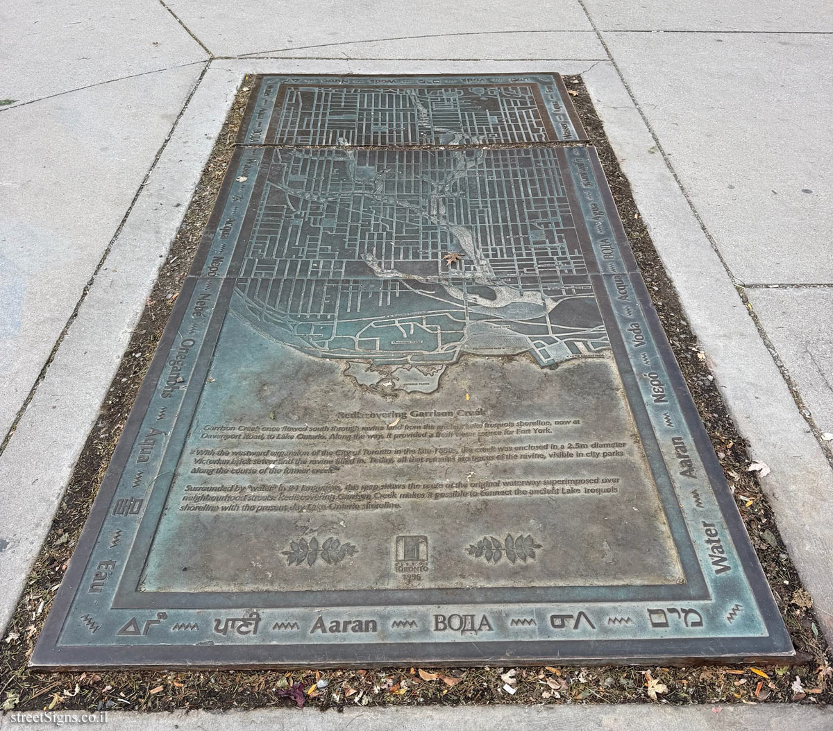
Rediscovering Garrison Creek
Garrison Creek once flowed south through ravine land from the ancient Lake Iroquois shoreline, now at Davenport Road, to Lake Ontario. Along the way, it provided a fresh water source for Fort York.
With the westwand expansion of the City of Toronto in the late 1880s, the creek was enclosed in a 2.5m diameter Victorian brick sewer and the ravine filled in. Today, all that remains are traces of the ravine, visible in city parks along the course of the former creek.
Surrounded by "water" in 24 languages, this map shows the route of the original waterway superimposed over neighbourhood streets. Rediscovering Garrison Creek makes it possible to connect the ancient Lake Iroquois shoreline with the present day Lake Ontario shoreline.
CITY OF TORONTO 1996
ΔΓω / पानी / Aaran / ᓂᐱ / מים / Water / Aaran / Νερό / Voda / Acqua / ВОДА / Agua / தண்ணீர் / Wasser / Agua / Eau / पानी / Voda / מים / Woda / Nước / ΔΓω / Water / Aqua / ВОДА / Wasser / 水 / Acqua / Νερό / Nebé / Oneganohs / Áqua / 물 / Eau



 Click for the item in The ultimate street signs site
 Possible Worlds Ltd.
  © 2017-2026


 Click for all covers of this type